4 photos
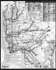
No descriptionPhotos and scans of New York City Subway Maps and Guides and maps of other regional rail systems.

-
1969 NYCTA Brochure & 1971 New York Times supplement
15 photos
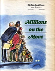
Millions on the Move - IND Second SystemScans courtesy of Dan @ SubChat.
-
MTA 1979 Subway Map
8 photos
No description
-
PATH map April 24, 1994
2 photos
No description
-
PATH map April 27, 1997
2 photos
No description
-
December 11, 1988 MTA The Map (wall-size)
3 photos
No description
-
1990 MNCR System Map
3 photos
-
1991 LIRR System Map
4 photos
-
MTA Commuter Rail Map - 1984
3 photos
-
A GUIDE TO METRO-NORTH
5 photos
-
MTA December 11, 1988 Subway Map 22-30-1075
4 photos
No description
-
MTA REGIONAL TRANSIT MAP - June 1996
2 photos
This was the test version of a new map design. It was released in June 1996, one and a half years before the new design made its official debut as the January 1998 map. It is rumored that only 500 of these test maps were distributed, making it one of the rarest maps of recent times.
-
MTA The Map January 1999
2 photos
-
February 2004 MTA The Map
4 photos
No description
-
MTA The Map May 2004 --- "Centennial Edition"
3 photos
No description
-
September 2004 The Subway Map - for Customers with Disabilities
3 photos
September 2004 The Subway Map - for Customers with Disabilities

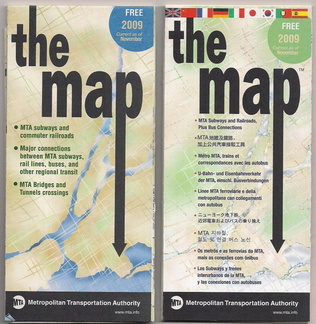 November 2009 NYC Subway Maps Standard and Multilingual Editions
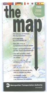 MTA The Map - December 2008 - Multilingual Edition
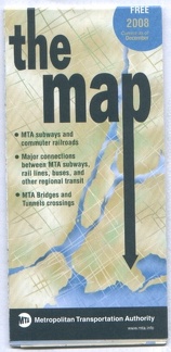 MTA The Map - December 2008 - Standard Edition
 August 2008 NYC Subway Maps Standard and Multilingual Editions
 MTA The Map - June 2008 - Standard Edition
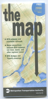 MTA The Map - March 2008 - Standard Ed.
 1984 LIRR Map
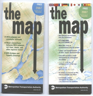 November 2007 NYC Subway Maps Standard and Multilingual Editions
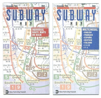 November 1995 NYC Subway Maps Standard and Multilingual Editions
 MTA The Map - July 1998
 MTA The Map - August 2007 - Standard Ed.
 MTA The Map - April 2007 - Standard Ed.
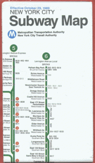 October 29, 1989 - 22-30-1090 - 2 3 4 5 6 7 8 9
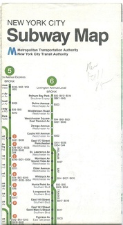 Fall 1985 - 1 2 3 4 5 6 7 8
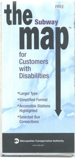 2006 The Subway Map - for Customers with Disabilities
