Photos of some of the remains of the right-of-way.

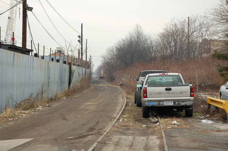 Staten Island North Shore right-of-way near N Burgher Avenue. The ROW forms a dirt road that can be driven east and west of this
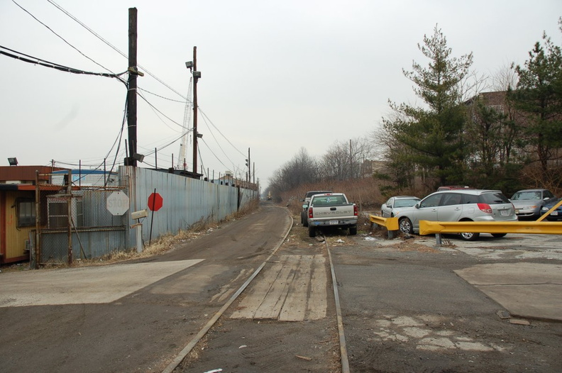 Staten Island North Shore right-of-way near N Burgher Avenue. The ROW forms a dirt road that can be driven east and west of this
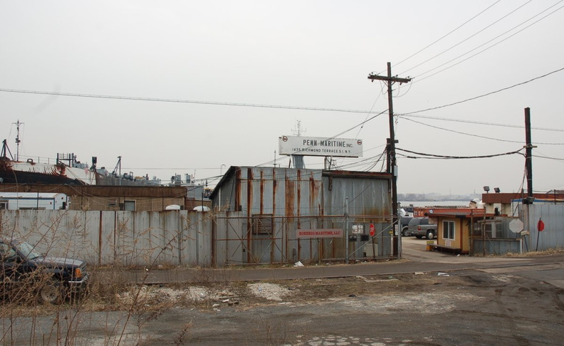 Staten Island North Shore right-of-way near N Burgher Avenue. The ROW forms a dirt road that can be driven east and west of this
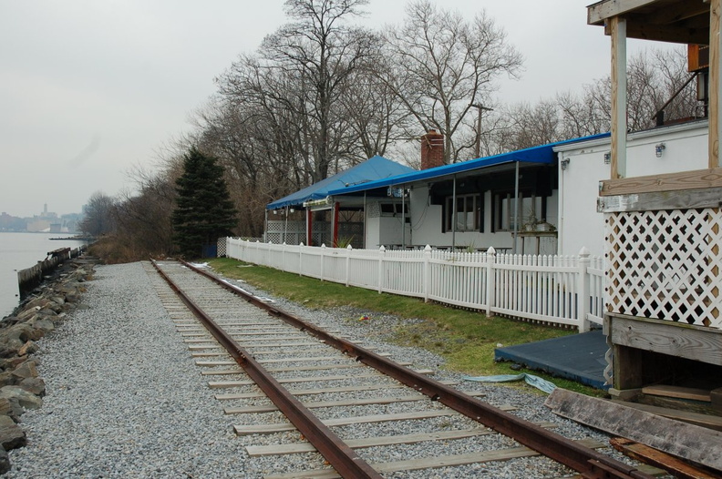 Recreated rails and ties along a section of the Staten Island North Shore right-of-way behind the restaurant R. H. TUGS. Photo t
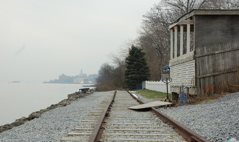 Recreated rails and ties along a section of the Staten Island North Shore right-of-way behind the restaurant R. H. TUGS. Photo t
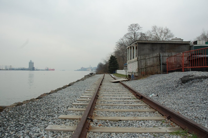 Recreated rails and ties along a section of the Staten Island North Shore right-of-way behind the restaurant R. H. TUGS. Photo t
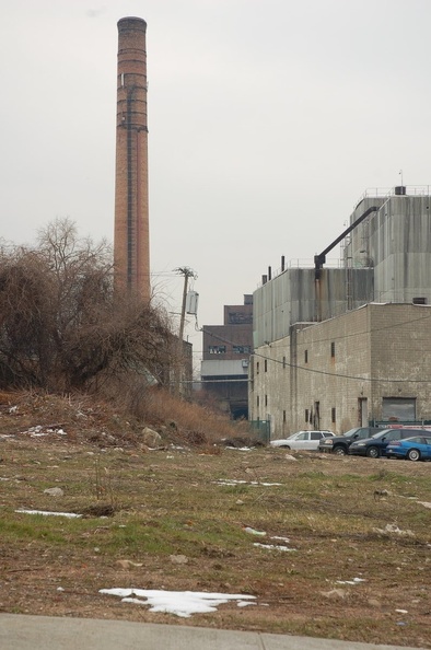 Staten Island North Shore right-of-way along Jersey Street. Does the ROW go through what appears to be a tunnel through the buil
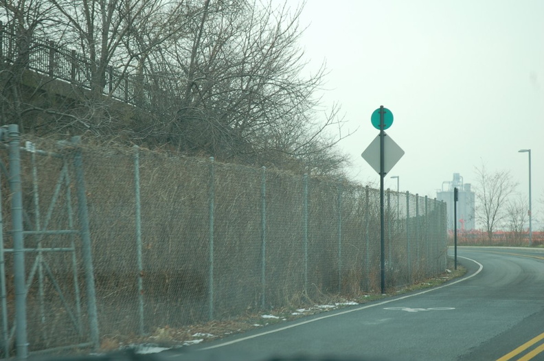 Staten Island North Shore right-of-way along Bank Street. Photo taken by Brian Weinberg, 2/2/2007.
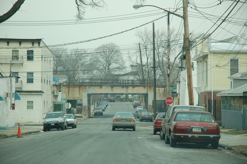 Staten Island North Shore right-of-way crossing over Faber Street at Grove Avenue. Photo looks north. Photo taken by Brian Weinb
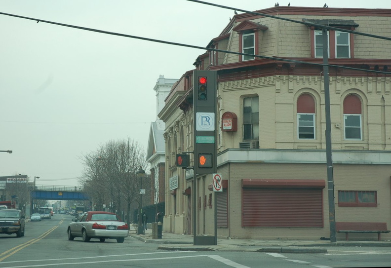 In the distance, the Staten Island North Shore right-of-way crossing over Port Richmond Avenue. Photo looks south. Photo taken b
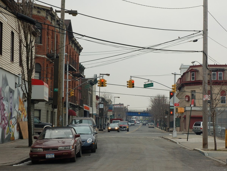 In the distance, the Staten Island North Shore right-of-way crossing over Port Richmond Avenue. Photo looks south. Photo taken b
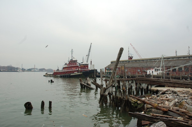 Moran Towing Corporation tugboats Brendan Turecamo and Margaret Moran at the end of Port Richmond Avenue. Photo taken by Brian W
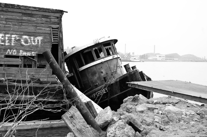 Abandoned Erie Canal tugboat "Philip T. Feeney" at the end of Port Richmond Avenue. It was built in 1892 and had 600 H
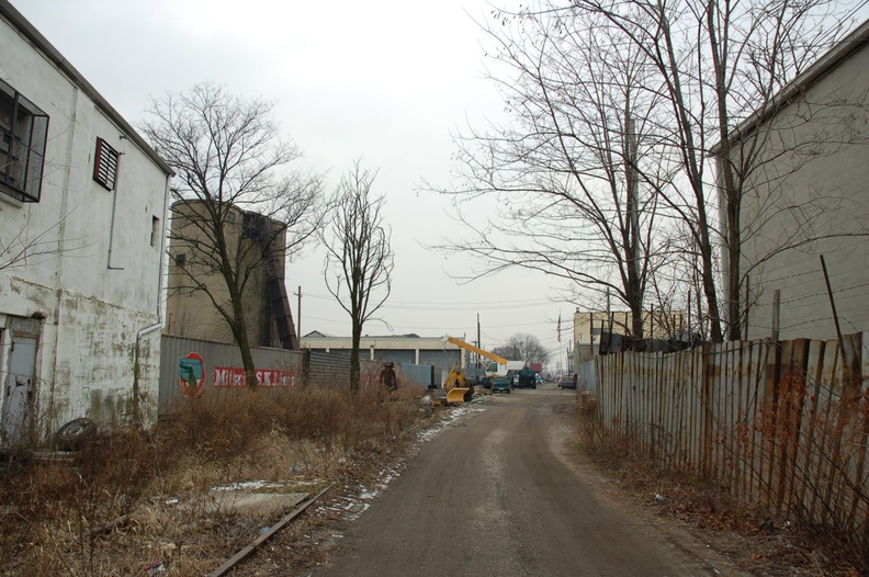 Staten Island North Shore right-of-way near N Burgher Avenue. The ROW forms a dirt road that can be driven east and west of this
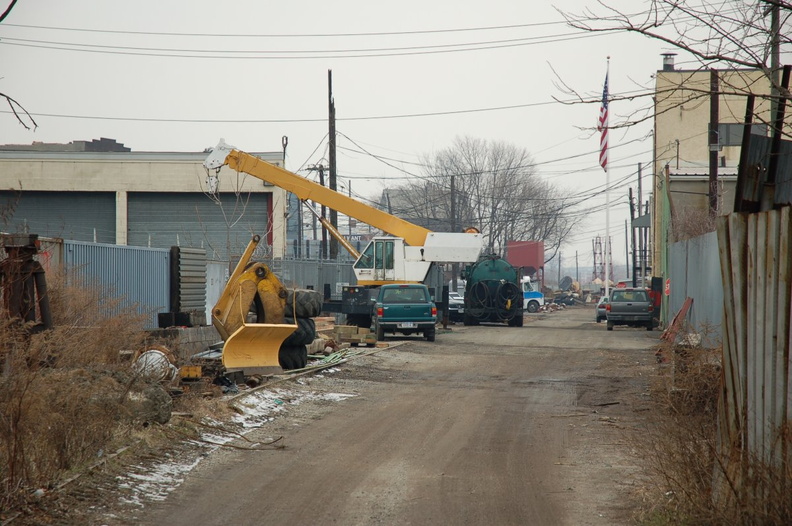 Staten Island North Shore right-of-way near N Burgher Avenue. The ROW forms a dirt road that can be driven east and west of this